


The Consortium for the Advancement of Remote Sensing (CFARS) recently released its survey of Remote Sensing Devices operating in complex flow, including the WindCube (Leosphere, a Vaisala company), Triton Sonic Wind Profiler (Vaisala), and ZX 300 (ZX Lidars).
Ground-based Lidars and Sodars employ a variety of beam probing or scan patterns by which the horizontal wind speed, vertical wind speed, and wind direction are derived — all assume homogeneous flow conditions within the scan/beam volume. In contrast, traditional meteorological masts equipped with cup anemometers provide a single measurement at the installation point of the sensor. In complex flow, often caused by terrain and fixed objects, the assumption of homogeneous flow conditions within the measurement volume introduces differences between Lidar and cup anemometer. In situations like this, a flow conversion technique can be applied.
CFARS have compared the various techniques adopted when using a WindCube, Triton, and ZX 300 remote sensor and presented an analysis of the accuracy of each device pre- and post-conversion/correction of data to account for the complex flow.
Across a broad range of cases previously published by ZX Lidars and Meteodyn incorporating 13 different wind-project locations, data presented confirmed that CFD conversion of ZX 300 data in non-homogeneous flow conditions produced excellent agreement with collocated anemometry. As a result, the data can be considered as finance-grade in situation.
With regards to the range of terrain classes as defined by [Bingöl et al., 2009], ZX 300 was also shown to perform to high levels of accuracy in all conditions including even highly complex sites.
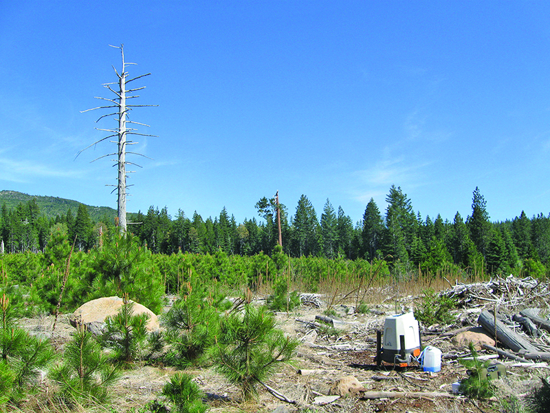
ZX 300 performance in complex flow is achieved by its 50 line-of-sight measurements in just one-second. From this baseline performance, the use of additional complex flow tools available from a range of service providers including WindSim, Meteodyn, and Natural Power are able to optimize the performance of ZX 300 further, delivering results that are traceable and auditable with a published conversion process.
ZX Lidars has continued to collaborate in this application. Following a successful development and validation program by computational wind engineering company ZephyScience and independent wind consultancy Deutsche WindGuard, a further data conversion technique ‘ZX CFR’ (Complex Flow Resolver) has now also demonstrated results to known and acceptable uncertainties allowing ZX Lidar systems to be deployed standalone in complex terrain and deliver wind speed and wind direction measurements that can be included within Energy Yield Assessments (EYAs) and Site Suitability Assessments (SA). Full details of ZX CFR were expected to be released in November.
More info www.zxlidars.com


