


Offshore wind development is gaining momentum around the globe. Expected to constitute more than 20 percent of total wind energy installations by 2025, offshore wind is growing in both near-shore environments and in deeper waters farther from the coast.
The United States, supported by a combination of federal incentives and state-level targets, is witnessing strong growth in offshore wind, with the goal of 9 GW generated by 2026 and planned commitments to build projects delivering 26 GW along the east coast by 2035. But as offshore development increases, so do concerns with uncertainty. Ensuring accurate data is delivered during wind resource assessment is essential for developers looking for bankability during the development stages and for wind monitoring and power performance testing during operations.
Offshore wind: New opportunities and needs
While offshore wind farms are full of potential, they also bring a new set of challenges. Offshore wind projects are bigger; turbines are growing larger, and the cost of offshore projects is greater compared to onshore. From the ability to accurately assess wind characteristics for larger areas and taller turbines to obtaining precise wind data at long ranges from the shoreline, offshore wind project challenges are compounded by the fact that meteorological masts are often either impossible or prohibitively expensive to deploy and maintain.
Met masts usually cannot measure up to the full height of modern turbines without mathematical extrapolation, which potentially introduces error. With offshore wind moving farther into deeper waters and farms maximizing the value of each foundation by employing the largest possible turbines, met masts simply cannot aggregate accurate wind data and stay within a cost-effective budget.
Lidar is both simpler to deploy and repurpose throughout the life cycle of an offshore project and is able to measure the full wind profile of even the largest offshore turbines, including those with floating foundations. Not only does this mean that Lidar reduces uncertainty by providing directly measured data where met masts would rely on extrapolation, but it also guarantees that Lidar will continue to accommodate aggressive turbine growth in the coming years.
As offshore wind accelerates, developers and operators are increasingly looking at offshore Lidar technology to reduce costs, speed up their projects, and maximize wind-turbine performance and profitability. But what technologies should they use to fit their needs and reduce uncertainty?

Lidar for each stage of an offshore project
The good news is there is a Lidar technology to support every stage of an offshore project: from wind resource assessment, pre-construction, and contractual power curve testing to permanent wind monitoring, research and development, and turbine testing and control.
Wind-resource assessment
Wind-resource assessments are useful only if their uncertainty is well defined. If the wind availability and characteristics cannot be proven to a high degree of certainty, it’s not possible to construct a sound financial model for a wind-project investment.
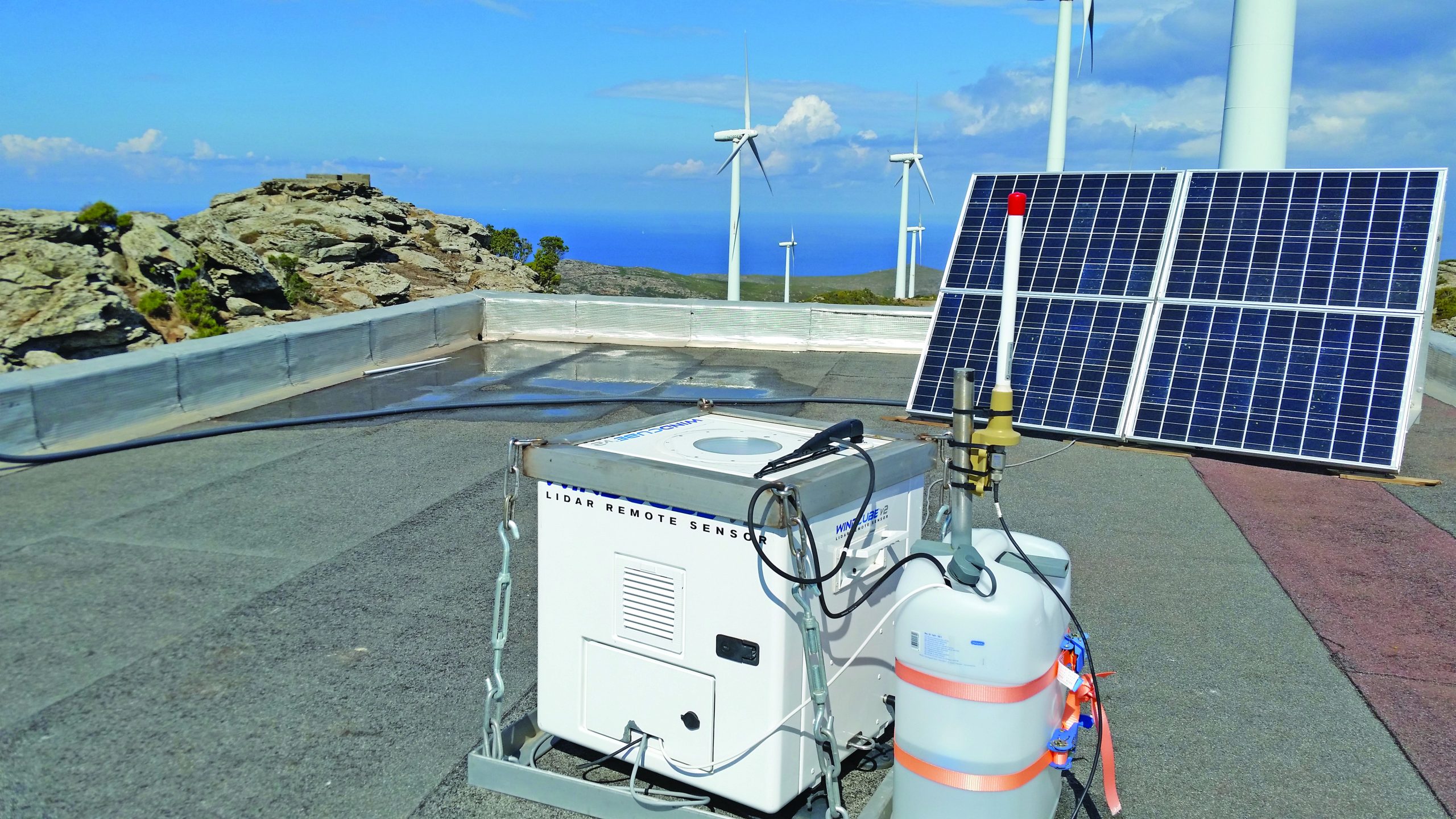
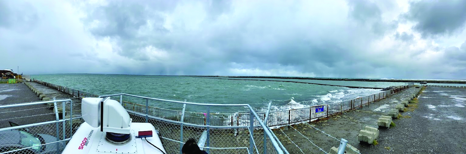
Mountable on existing offshore platforms or placed onshore at the coastline, vertical profiling and scanning Lidars decrease uncertainty by providing both the spatial resolution to analyze bigger areas (scanning) and direct wind assessment to reduce vertical uncertainty (vertical profiling), improving project bankability.
With a range of nearly 20 kilometers from the shoreline, advanced scanning Lidar technology allows for full, 3D spatial mapping of the wind field and can provide ideal offshore site wind data even from the shoreline, where it is much easier and more cost-effective to operate and maintain. In fact, a near-offshore scanning Lidar or a vertical profiling Lidar placed on a fixed offshore platform is often the simplest solution with the lowest upfront costs.
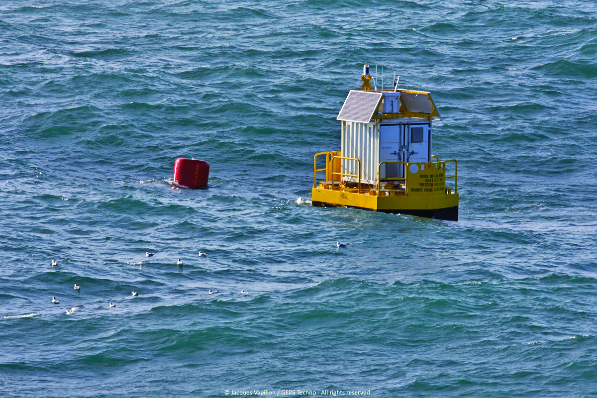
A crucial tool where there are no available fixed platforms, lighthouses, or offshore stations, floating Lidar technology can be deployed for wind-resource assessment nearly anywhere. Even better, these technologies can be mixed and matched. For example, a buoy-mounted vertical profiling Lidar can be integrated into a floating Lidar system or placed on a platform at the center of a proposed project to reduce vertical uncertainty, while one or several scanning Lidar units provides 3D wind awareness from the shore.
Wind operations and power performance testing (PPT)
When used for permanent wind monitoring, fixed vertical profiling and nacelle-mounted Lidars can replace met masts and monitor performance and losses when a turbine is stopped or the farm is off the grid.
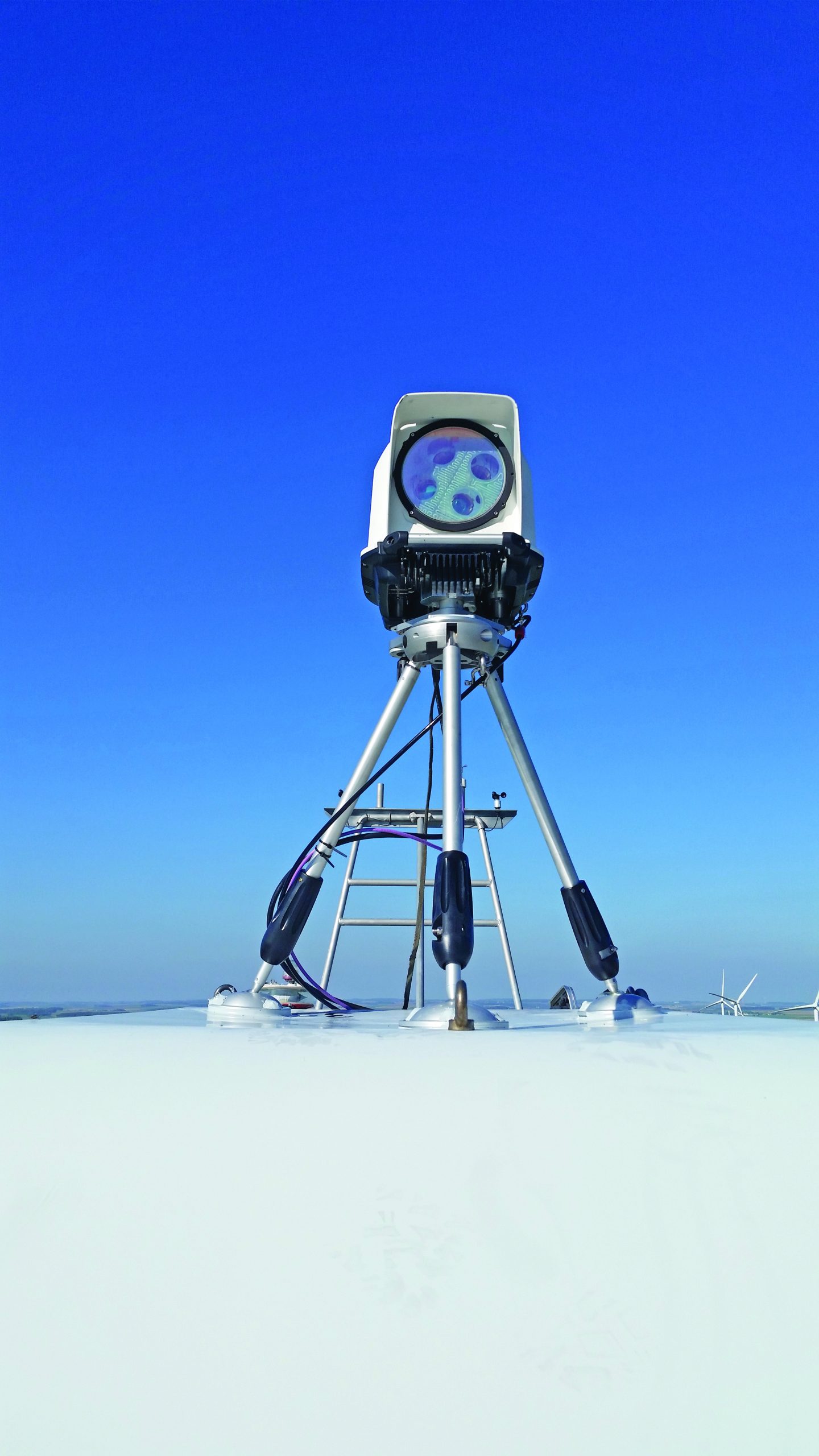
Used to verify performance or validate repairs and upgrades, operational PPT is crucial. Quick and affordable to deploy, nacelle-mounted Lidar technologies provide reliable data immediately, making them well suited for troubleshooting and identifying underperformance. Plus, these Lidars measure horizontal wind hundreds of meters in front of the turbine to simplify PPT and ensure even the largest offshore turbines are performing at maximum capacity.
Research, development, and construction
Wind Lidar is frequently being used for promising research and development (R&D) purposes, such as wake loss and blockage effect studies as well as short-term forecasting. In wake loss studies, scanning Lidar technology is improving energy production certainty by measuring wake effects away from the turbine, ultimately improving performance and financial outcomes. In research applications, real-time Lidar data decreases uncertainties compared to statistical models. Fixed vertical profiling Lidars are also commonly used during craning and mounting operations because they help ensure accurate turbine placement and installation. Nacelle-mounted Lidars also support other research areas such as wind-farm control.
With offshore wind development accelerating globally, Lidar is reducing uncertainties and meeting many previously unmet needs for offshore developers and operators throughout each stage of an offshore project. Innovative Lidar technologies — whether scanning, ground-based, floating, or nacelle-mounted — exhibit that, with the right tools, offshore wind farms are both feasible and profitable.


